Conditions together
Tide, wind, weather, and season in one place, so there is less to piece together before a trip.
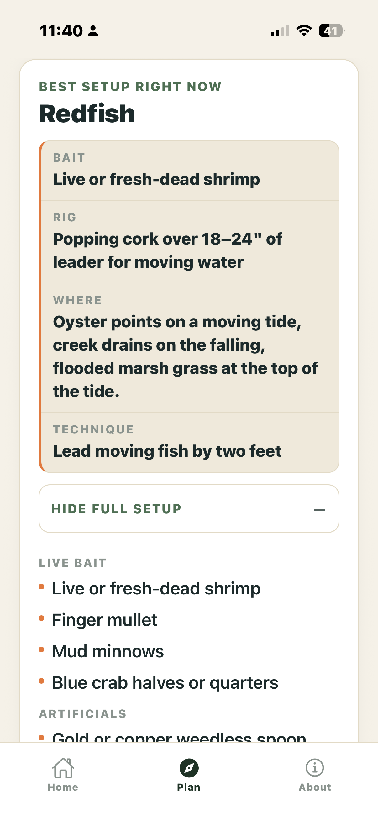
Saltline brings tide, wind, weather, season, rules, and local context into one clear read for the water you actually fish.
No catch maps. No shared spots. No promises. The call stays with you.
Free in Bluffton + Hilton Head, Beaufort, Edisto, and Charleston. One $9.99 purchase unlocks the other supported regions.
Bluffton + Hilton Head, Beaufort, Edisto, and Charleston are free — no trial and no subscription. A one-time purchase unlocks the other supported regions from Georgetown through Virginia Beach.
Most trips start with a handful of things to check and a few things you already know about your water. Saltline puts the useful pieces together without pretending there is one certain answer.
Tide, wind, weather, and season in one place, so there is less to piece together before a trip.
Regions are treated as different water, not one generic coast.
Size and season rules are part of the picture. The responsible agency remains the source of truth.
No account. No catch map. No shared pins. Saltline does not ask you to publish where you fish.
Saltline should take less of your attention, not more.
Useful information gets more useful when you know where it came from — and what it cannot tell you.
Tide, weather, regulations, closures, navigation, and safety start with the responsible official source.
University work, Sea Grant, and firsthand observation can add useful context. They are not the same kind of evidence, so Saltline should say which is which.
Other anglers can raise a good question. A report is not proof. When Saltline is making its own connection, it should say so.
The number is useful. The why is better. Saltline uses short, sourced notes to explain what may be happening, why it may matter, and where the explanation stops.
No catch maps. No shared pins. No leaderboards. Saltline does not build a public record of where people fish. The app gives you conditions and context, then leaves the fishing to you.


Four Lowcountry regions are free. Six more run north through Virginia Beach and Norfolk. Saltline adds water slowly enough to check the sources, rules, and local context.
A reading that looks wrong. A confusing explanation. Missing public access information. A better source. A useful product idea. Send the region, date, and what you noticed.
Please do not send secret spots, passwords, payment information, or sensitive personal information.
Saltline brings together the things worth paying attention to. The fishing is still yours.
Go beyond the forecast.